Tehsil
Kot Addu
1,686 km² · 1,072,180 people (2023 census)
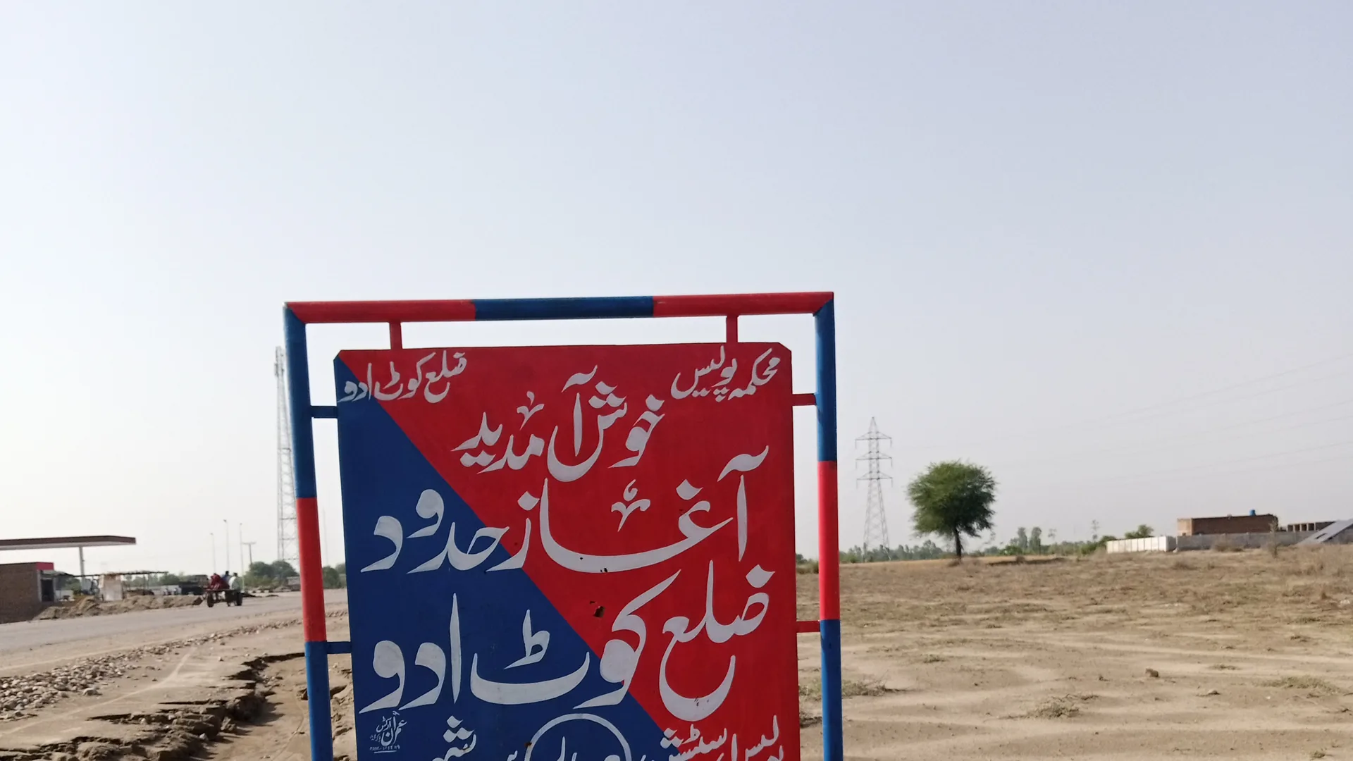
City
Kot Addu is a river town that became a district capital. The name is straightforward: a kot raised by Addu Khan. The story since then is canals, rail, power plants, and a 2022 map change that finally put the city’s name on a district board.
The name is the story in miniature. Kot means a fortified town; Addu is the Mirani chief credited with founding it around 1500. This page gathers the city’s history, the 2022 district, notable people, civic services, and census facts.
History
c. 1500
Addu Khan, of the Mirani line associated with Ghazi Khan, established a defensive settlement. The place was known as Adduda Kot — a kot (fortified town) named for Addu. A bastion wall was built to protect inhabitants on the exposed Indus plain.
Mughal era – 1849
The region sat on the southern Punjab frontier of the Mughal world. Afghan Pashtun administrators were among those appointed to govern it before Sikh and then British control.
1849–1947
After 1849 the area was folded into colonial Punjab. Canal colonization and the railway later stitched Kot Addu into the Indus irrigation grid that still defines the district.
1947 onward
After independence Kot Addu remained a tehsil of Muzaffargarh District. The city grew with canals, the rail junction, sugar, and — from the 1980s — thermal power on the river.
August 2010
Pakistan’s worst modern flood peaked at Taunsa Barrage on 2 August — about 960,000 cusecs, above the 1958 record. The Left Marginal Bund breached; water poured into the Muzaffargarh Canal and Taunsa–Panjnad link. Kot Addu town, Mahmood Kot, Ghazi Ghat, and cropland between the canal and the river went under. Around Daira Din Panah some 30,000 people were marooned. Floodwater cut the PARCO oil supply, so the river-side power plants at Kot Addu, Lalpir and PakGen were badly disrupted. The memory still shapes how people read monsoon years.
2022–2024
Punjab announced Kot Addu District in October 2022, splitting it from Muzaffargarh, and formally notified it in December 2024. The city is the headquarters. Administration sits in Dera Ghazi Khan Division, with two tehsils: Kot Addu and Chowk Sarwar Shaheed.
District
This was a tehsil of Muzaffargarh until Punjab announced a separate district in October 2022; it was formally notified in December 2024. The new district recognised a region that already had its own rail junction, energy plants, and canal command. Headquarters: this city. Division: Dera Ghazi Khan.
Tehsil
Tehsil
Punjab
Commonly published names for the old tehsil / current district. Boundaries can shift; this is orientation, not a legal roll.
People
Culture
Roughly four in five people in Kot Addu District speak Saraiki. It is the language of the canal plain, the bazaar, and the kafi — not a footnote on a census table.
The voice of the south
Saraiki folk and Sufi singer · 1926–2000
Born Ghulam Muhammad, he became the voice most tied to Saraiki kafi, singing the poetry of Khwaja Ghulam Farid, Shah Hussain and other Sufi poets. Radio Pakistan Multan made him known; he received the Pride of Performance in 1979. Every March, Kot Addu marks his death anniversary.
Birthplaces in this belt are argued over. The notes stay conservative: people with a widely reported tie to the city, the district, or the tehsil that preceded it.
More names from the district
Sufi saint · Mughal era, by tradition
Religious scholar; chairman, Municipal Committee Kot Addu · d. 2022
Islamic scholar, author and physician · 1792–1824 (1206–1239 AH)
Towns
Beyond Kot Addu itself: the shrine town of Daira Din Panah, the tehsil headquarters at Chowk Sarwar Shaheed, the refinery at Mehmood Kot, and Sanawan on the river.
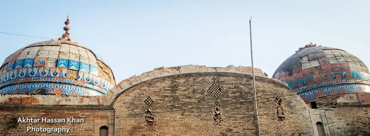
Tehsil Kot Addu · 37,644
The shrine town north of Kot Addu, named after the saint whose blue-tiled tomb stands at its centre.
About Daira Din Panah →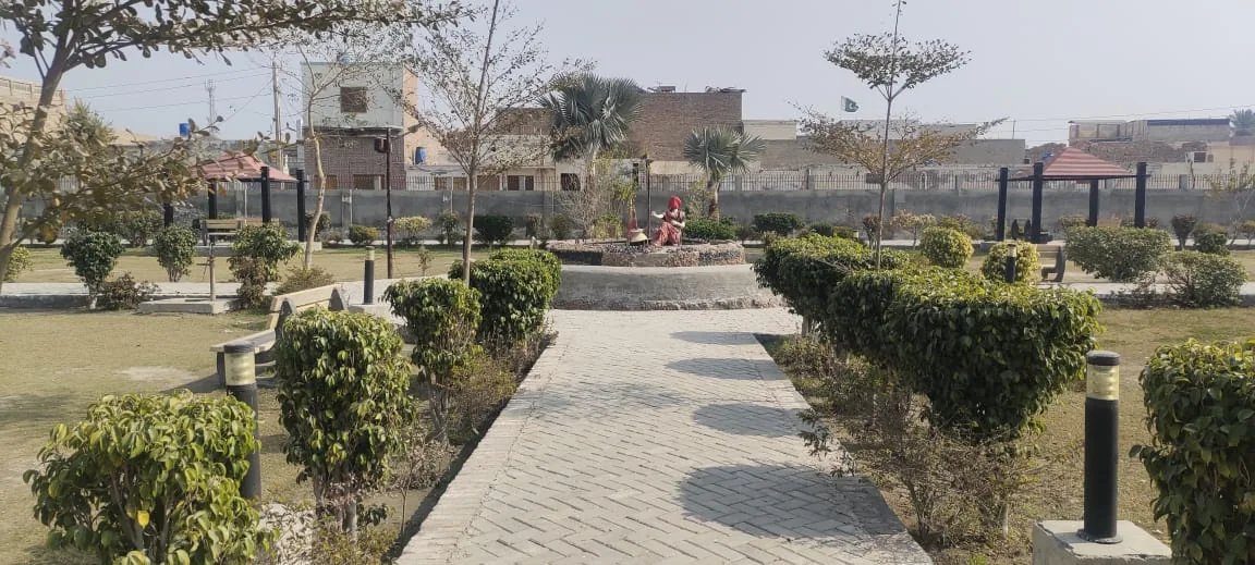
Headquarters of Tehsil Chowk Sarwar Shaheed · 63,421
Once Chowk Munda, now the headquarters of the district's second tehsil — a growing town in citrus country.
About Chowk Sarwar Shaheed →
Tehsil Kot Addu
An old fort town that became the oil junction of the district: PARCO's Mid-Country Refinery, tanker depots and oil trains.
About Mehmood Kot →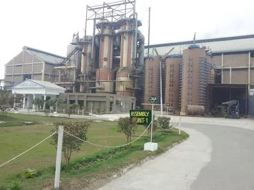
Tehsil Kot Addu · 40,593
A low-lying river town south of Kot Addu — home ground of the Khar family and the Fatima sugar mill, and often the first place the Indus floods.
About Sanawan →Economy
Kot Addu’s national name is energy and sugar. The same canals that water mango and citrus also feed the mills.
Economy →Civic
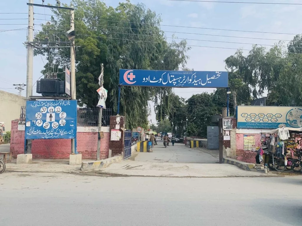
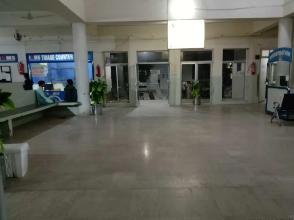
Health
Technical
Higher secondary / degree
Schooling
Facts
Some older city pages publish impossible population counts. Figures here follow Pakistan Bureau of Statistics census series.
| 1951 | 10,507 |
| 1961 | 13,107 |
| 1972 | 21,409 |
| 1981 | 37,479 |
| 1998 | 80,720 |
| 2017 | 129,703 |
| 2023 | 142,161 |
| 1951 | 143,009 |
| 1961 | 184,639 |
| 1972 | 313,137 |
| 1981 | 449,493 |
| 1998 | 808,438 |
| 2017 | 1,347,501 |
| 2023 | 1,486,758 |
Very hot summers, mild winters, dust storms, and a short monsoon. Land near Taunsa Barrage can flood.