Skip to content
Kot Addu

Visit

Come for the river. Stay for the barrage light.

Best months are October to March. Dolphin trips around Taunsa Barrage usually run mid-September to mid-April. Arrive by rail (ADK) or the Multan road.

Kot Addu is not a monument city. The draw is landscape: a barrage, a working river, shrine towns, and public gardens on a hot plain. This page covers what to see and how to get here — not Multan landmarks that other sites sometimes paste in by mistake.

WhenSeeMapExperienceGetting hereEssentialsThe river

When

October to March is the season.

Winter

October through March is the comfortable season. Cooler days, barrage light, and the best time to walk the city.

Dolphins

Boat trips around Taunsa Barrage are typically offered from mid-September to mid-April. This is a visitor note, not a booking service.

Summer

Heat is extreme — recorded highs near 51°C — and dust storms are common. Plan indoor hours at midday from May to August.

See

Places in the city and district

Taunsa Barrage

about 16 km from the city

Taunsa Barrage

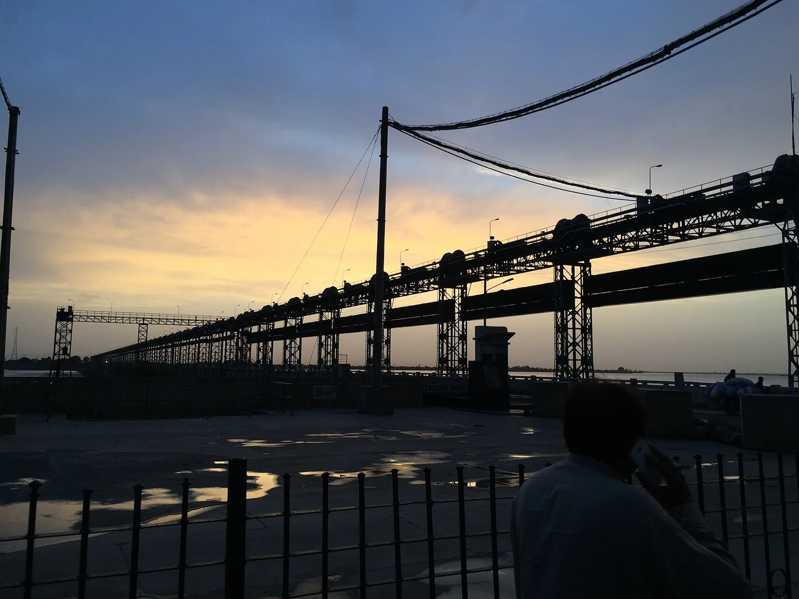
Head Taunsa Barrage sits on the Indus about sixteen kilometres from Kot Addu and twenty kilometres southeast of Taunsa Sharif. Finished in 1958, it regulates the river for irrigation and flood control, feeds the Taunsa–Panjnad (TP) Link Canal toward the Chenab, and doubles as a crossing for road, railway, pipelines, and high-voltage lines. In cooler months the stretch is known for boat trips, birdwatching, and sightings of the Indus river dolphin (locally bulhan).
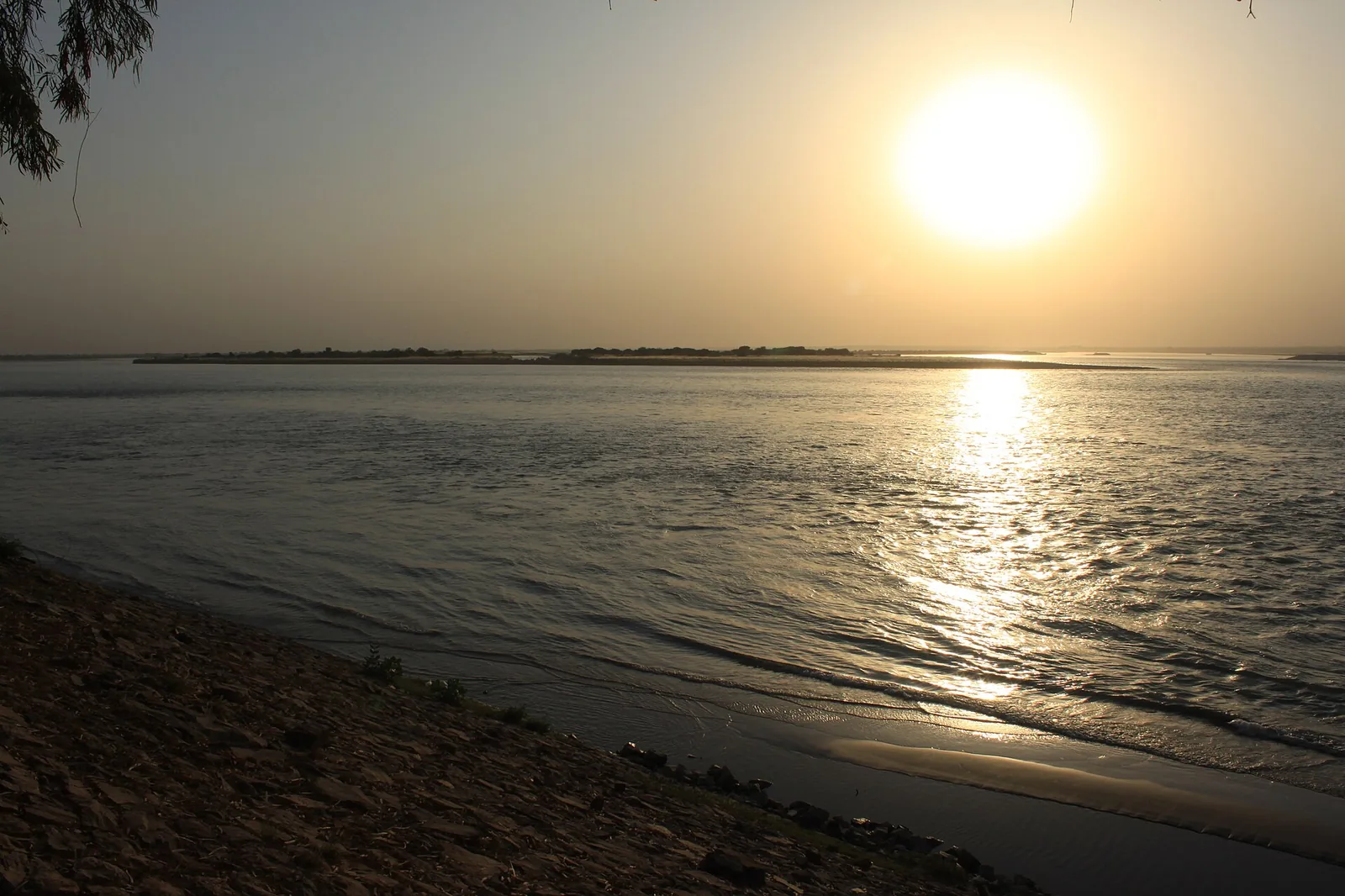

River Indus

west edge of the city

River Indus

The city stands just east of the Indus, almost at the geographic centre of Pakistan. The plain is farm country: mango and citrus belts, sugarcane, and a lattice of canals. The river is also why monsoon years can flood low ground near the barrage.

Daira Din Panah

town and union council in the district

Daira Din Panah

Daira Din Panah is both a settlement and a union council of Kot Addu District. The shrine of Hazrat Sakhi Din Panah is the spiritual landmark of the area. The town also has its own railway station on the Kotri–Attock line.

Kot Addu Junction

in the city

Kot Addu Junction

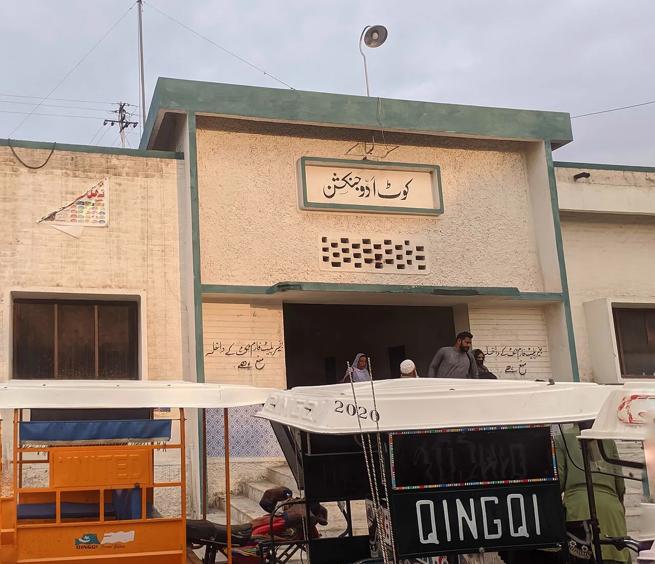
Kot Addu Junction (ADK) is the city’s main rail gateway. It sits on the Kotri–Attock Railway Line, with a branch toward Sher Shah Junction. For many visitors the station, not the highway, is the first view of town.

Map

East of the Indus. Sixteen kilometres from the barrage.

A diagram of how the city sits — not a driving map. Kot Addu is on the east bank. Taunsa Barrage is about 16 km northwest. ADK, the bazaar, and DHQ are in town. Use the street map below if you need a pin.

Diagram of Kot Addu on the Indus. North at the top. Not to scale, except the barrage distance.
  1. Open this place →

Street map

Open a larger map of Kot Addu · © OpenStreetMap contributors

Experience

What a visit actually feels like

Barrage light

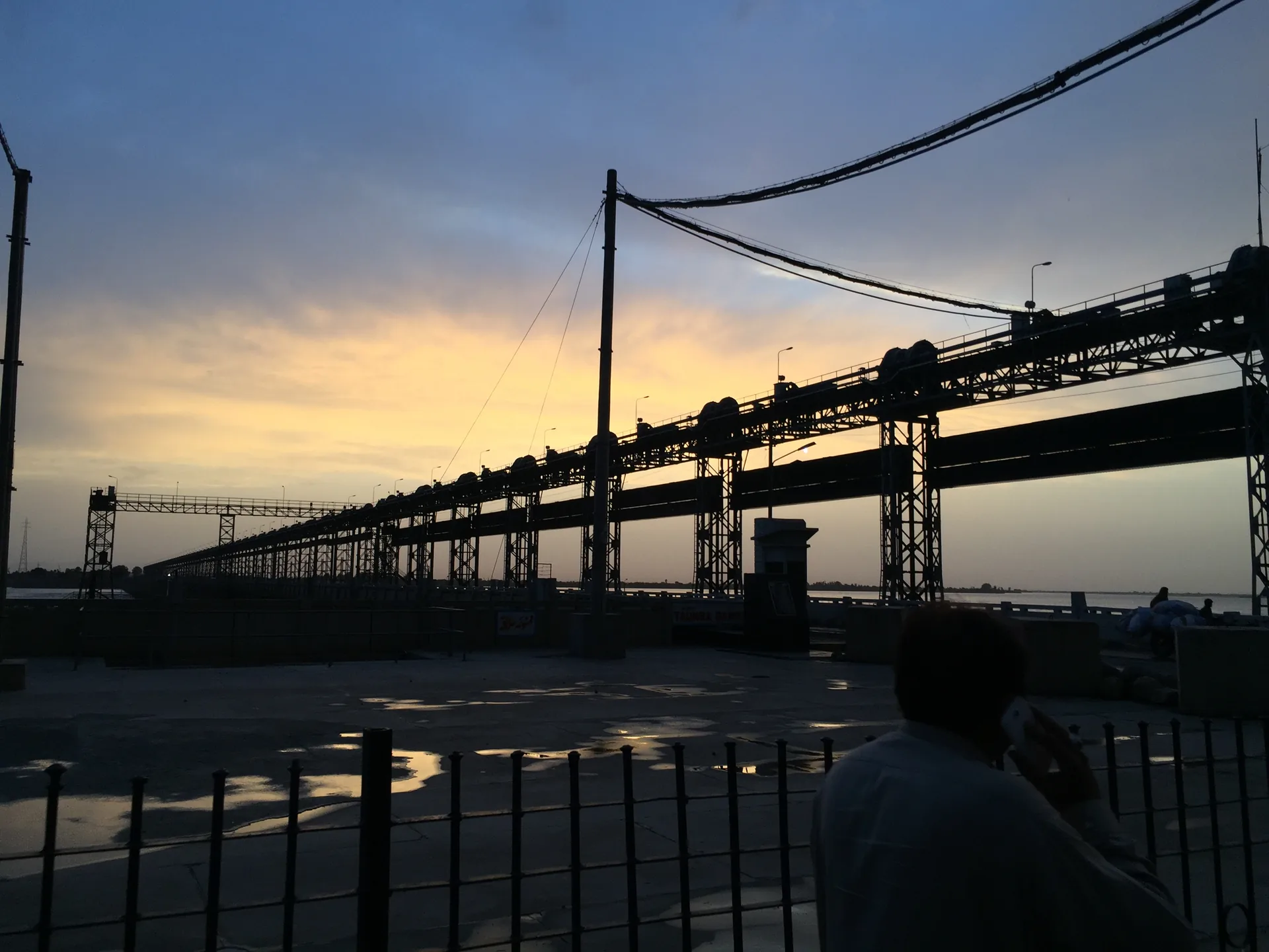
Sunset on the Indus at Taunsa Barrage, sixteen kilometres from town.

Canal country

The Muzaffar and TP Link turn river water into farms. The landscape is the point.

The bazaar

Karim Dad Qureshi Road is a working street, not a monument circuit.

Not Multan

Tombs and Clock Plaza are not here. This guide only lists the city and district.

Getting here

Junction town: rail first, then the road

Most long-distance travellers arrive by train or by road from Multan. The city is a junction, not a dead end: the same rails that bring you in continue up and down the Indus corridor.

Station code ADK

Railway

Kot Addu Junction is on the Kotri–Attock Railway Line. A branch meets the Sher Shah–Kot Addu line. Neighbouring stops include Sanawan toward Sher Shah and Dera Dinpanah toward Attock.

Train timings: Schedules change seasonally. Check Pakistan Railways before you travel — book at the station or through the official site. Pakistan Railways

Southern Punjab

Road

  • Taunsa Barrage: about 16 km
  • Muzaffargarh: about 60 km
  • Layyah: about 60 km
  • Multan: about 80 km
  • Dera Ghazi Khan: about 80 km
  • Islamabad: about 600 km
  • Karachi: about 866 km

Via Multan

Air

There is no commercial airport in Kot Addu. Fly into Multan International Airport, then continue by road (roughly 70–100 km) or connect by rail.

Route

How the corridor fits together

  1. Multan International (MUX) → Kot Addu by road, about 80 km
  2. Kot Addu Junction (ADK) → Taunsa Barrage, about 16 km
  3. Kot Addu → Mehmood Kot / PARCO refinery belt, short drive south

Essentials

What you need on the ground

Emergency numbers are nationwide. For everything else, the bazaar road is the default answer.

Hospital

DHQ Hospital Kot Addu is the main public facility. See the City page for more on schools and health. →

Emergency

Rescue 1122 for ambulance (Punjab). Police emergency: 15.

Cash & fuel

ATMs and petrol pumps line Karim Dad Qureshi Road and the Multan road approaches.

Local dialling

Landline area code 066 · postal code 34050. Mobile networks cover the city.

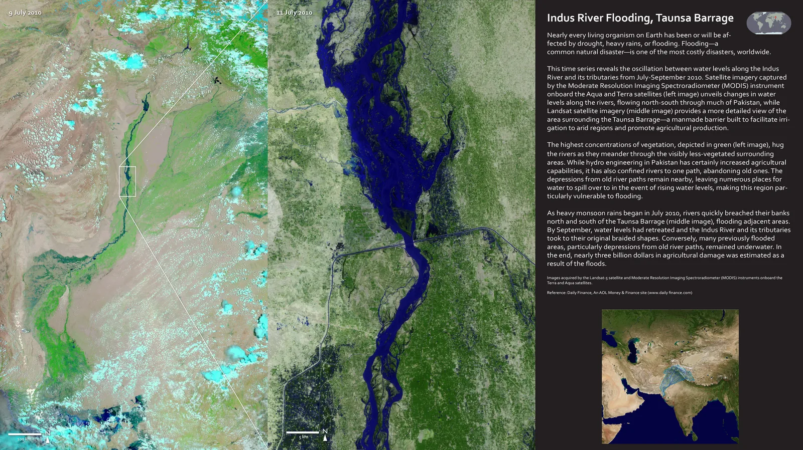
Satellite view of Indus flood water near Taunsa Barrage, August 2010

Living with the river

The Indus feeds the fields. It can also flood them.

This is a floodplain. Monsoon years can put low ground near Taunsa Barrage under water. Irrigation, heat, and flood risk are the same geography — not a backdrop for tourism copy.

In August 2010 the worst modern flood on the Indus peaked at Taunsa Barrage — about 960,000 cusecs on 2 August, above the 1958 high. The Left Marginal Bund breached; water backed into the Muzaffargarh Canal and Taunsa–Panjnad link. Kot Addu, Mahmood Kot, and cropland between canal and river were submerged for days. Military boats and helicopters evacuated thousands. Power plants on the riverbank shut down. That event is still the reference point when people talk about what the river can do.

Photo: NASA / Wikimedia Commons (public domain)