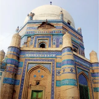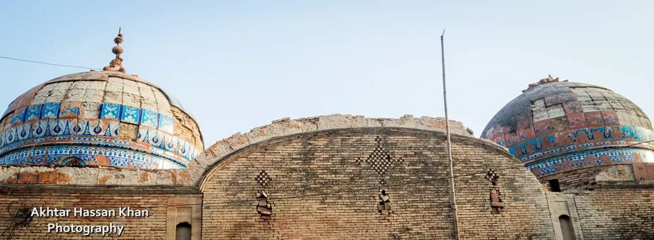
The 1908 district gazetteer placed Daira Din Panah seven miles north of Kot Addu and five miles from the Indus, beside the road to Dera Ismail Khan, with a railway station and the ruins of a fort built by Abdul Samad Khan Sadozai. The town grew around the shrine of Din Panah — tradition names him Syed Abdul Wahab Bukhari — a domed tomb faced in blue and white tiles that Hindus and Muslims alike came to visit. Its keepers are still the Makwals, descended from the woman who, the legend says, raised the saint.
The census counted 37,644 people in the town in 2023, up from 32,962 in 2017 and 12,592 in 1998; it is now classed as a town committee. The urs is held on 21–22 August. Most of the district's rice, the 2019 gazetteer notes, is grown around Daira Din Panah, and the town has its own police station. In the flood of August 2010 about 30,000 people were marooned here, cut off from Kot Addu by road and rail.