All storiesPublished 1 min read
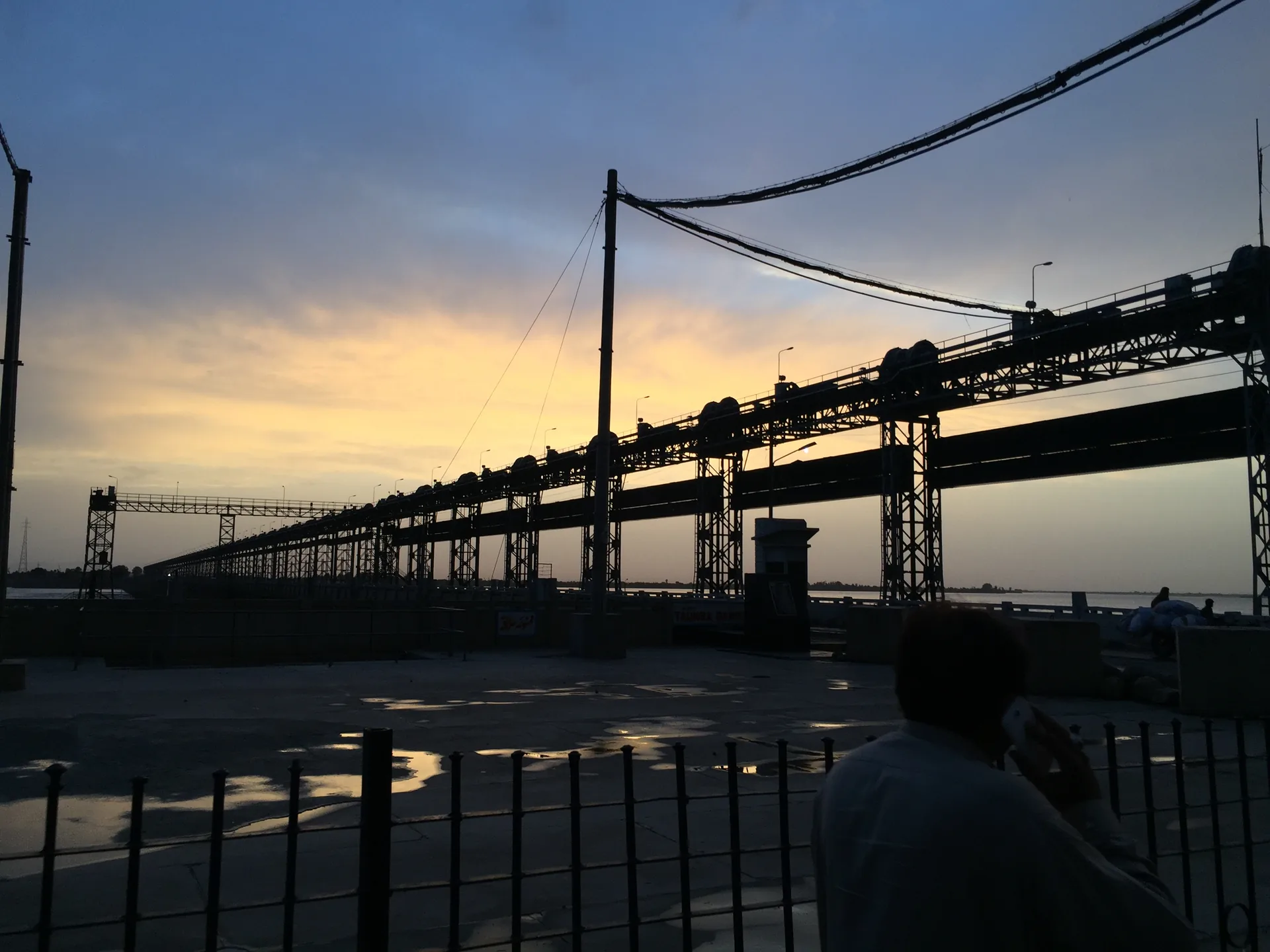
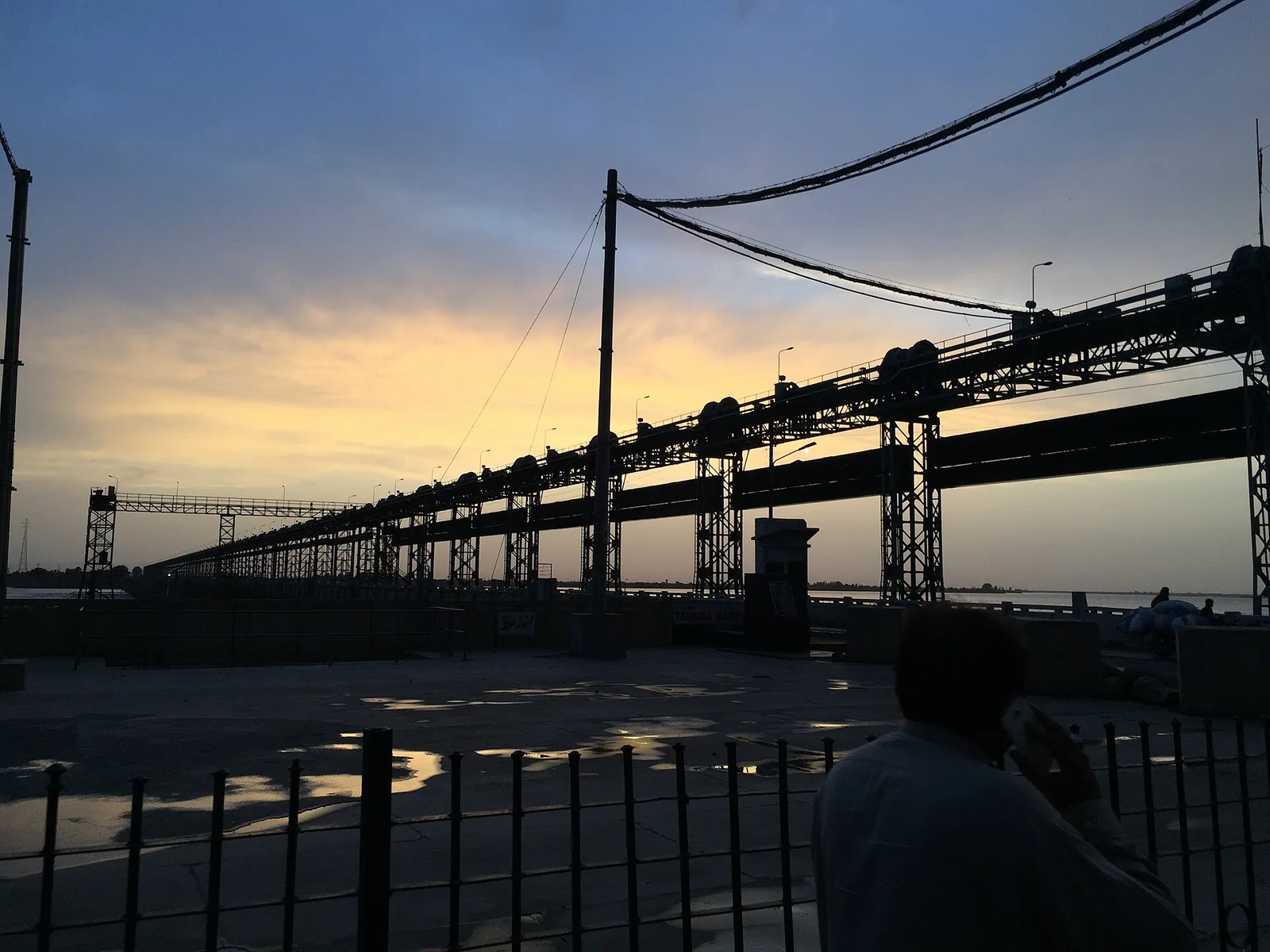
Taunsa Barrage stands on the Indus about 16 km north-west of Kot Addu. It was first proposed in 1936, sanctioned in 1953, completed in 1958 and formally inaugurated in March 1959. Its purpose was to give dependable, weir-controlled water to land on both banks that had relied on floods, and to open new land in the Thal.
As built it has 65 bays across 4,346 feet between abutments. Most bays are 60 feet wide; one is a 22-foot navigation lock, and there are two fish ladders. Sources give its design flood as 1.0 to 1.1 million cusecs.
What it feeds
On the left bank — the Kot Addu side — the barrage feeds the Muzaffargarh Canal, completed in 1960, and the Taunsa–Panjnad Link, added in 1970 under the Indus Basin works. On the right bank it feeds the Dera Ghazi Khan Canal, and a newer head regulator releases up to 6,000 cusecs into the Kachhi Canal for Balochistan. Together its canals command about 2.35 million acres.
It is also a crossing. The barrage carries a road bridge and a railway bridge, gas and oil pipelines, and high-voltage power lines.
Keeping it standing
Problems started almost at once. The river approached at an angle, silting the Dera Ghazi Khan Canal; the water level below the barrage dropped, and the stilling basin was damaged. Repairs ran from 1959 to 1962, and expert committees reviewed the structure in 1966 and 1973.
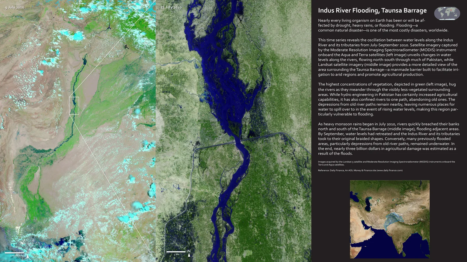
In April 2004 the World Bank agreed to finance an emergency rehabilitation and modernisation, carried out between 2005 and 2008 and including a subsidiary weir downstream. Two years later the 2010 flood tested the whole system — and broke through upstream, at the embankment rather than the barrage.
Sources
Facts in this story come from the sources below. Spotted an error? Write to hello@kotaddu.pk.